Routes / Dunes & coast
Texel: from village to village through the dunes
Published
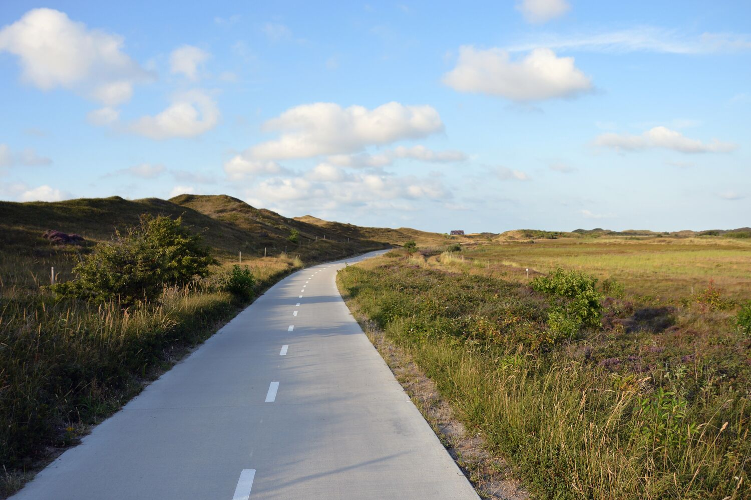
Texel is the biggest of the islands in the Wadden Sea and you can get there by ferry from the tip of North Holland in twenty minutes. Most people come for the beach. I come for the strip of dunes behind it, which is wide and wild and full of small hidden valleys.
This walk goes south through that strip from one village to the next. It's not hard, but there is sand, and there is wind, always. Most of the way there's a footpath, sometimes it joins the cycle track for a bit. In March the cycle track is empty. In July, don't.
I went the second weekend in March. Cold, very clear, larks already singing. The island felt like it was just waking up.
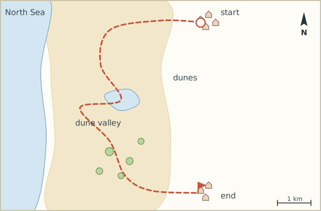
Sketch map
Directions
- From the village walk up the main beach access road and take the footpath south just before the dune top. (0.8 km)
- Follow it through the dunes, with the sea hidden behind the first ridge. (2.6 km)
- Where the footpath meets the cycle track, walk alongside it for a while on the sandy verge. (3.5 km)
- Turn right onto the footpath into the dune valley with the little lake. Boardwalk across the wet bit. (5.0 km)
- Climb the dune at the end of the valley for a view of the sea and the whole length of the island. (5.6 km)
- Back down and continue south on the footpath, through low pines. (8.2 km)
- At the crossing with the road to the beach, turn left (east) towards the village. (10.3 km)
- Walk into the village and the bus stop. (11.0 km)
Notes
Getting there
The island ferry takes walkers, and the buses on the island connect the villages. I left the car on the mainland.
Wind
The prevailing wind is from the south-west, so this walk is usually into the wind. North-bound might be the smarter choice. I didn't think of it.